

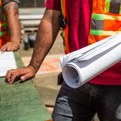
Can-Explore offers its clientele technological and personalized construction surveying services. From the creation of “as built” plans to the implementation of the projected work, the experienced team at Can-Explore proposes innovative methods that meet the requirements of all types of construction projects.
Roads and Overpasses
Monitoring
Technical Drawings
Dams
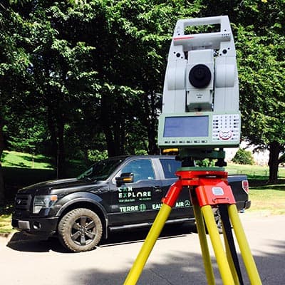
Our Surveying Services
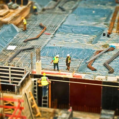
Construction surveying is an integral part of several types of construction sites and work. It is also required at various phases of the work. Can-Explore is there to assist you from start to finish. Our services are wide ranging:
- Engineering structure
- Concrete formwork
- Worksite supervision
- AB – As-Built
- Technical Drawing
- Implementation plan
- Infrastructure work
- Quantity calculation
- Photogrammetry
- 3D Scans

Production of As-Built Plans
For the production of “as-built” plans, Can-Explore uses various tools depending on the situation. When necessary, we use a fixed-wing drone that can quickly reproduce the surface of an area. The 3D model generated has sufficient precision to produce an as-built plan.
With the combined expertise of Can-Explore’s team, there are many benefits to using this method for producing as built plans:
- High accuracy;
- Fast and effective acquisition time;
- Comprehensive deliverable (point cloud and orthophoto);
- Creation of cross-section views;
- Creation of road profiles;
- Adaptability of deliverables according to client needs.
Our Sectors of Activity
- Civil Engineering
- Forestry
- Mining
- Roads
- Major infrastructure
Any questions? A specific project in mind?
Don’t hesitate to contact us. Our solutions are tailored to your needs.