


Tom Tardif, Geomatics Director, and Samuel Des Cormiers, Land Surveyor, at Can-Explore’s Head Office in Quebec City.
Land Surveyors: You’ve probably heard of them, but do you know what they do? Well, if you’ve ever bought or sold property, chances are you’ve hired this specialist to issue a certificate of location. But there’s so much more to it than that!
So what does a land surveyor do exactly?
A land surveyor is able to delineate and characterize a property in detail, providing valuable geographic, topographic, and legal information. So, what’s in it for me? Well, whatever your land project, you’ll have everything — absolutely everything — to make an informed decision!
Since Can-Explore constantly strives to improve its services, we’ve decided to add legal land surveying to our list of services. Our goal? Zero risk projects for us and zero hassle for you!
Whether you’re an individual, a company, an organization, or part of an industry, now’s the time to broaden your knowledge on land surveying. Let us show you all the added value and unexpected benefits that await you.
Not just anyone can become a land surveyor! In Quebec, you need to complete a Bachelor of Science in Geomatics, successfully complete a professional internship, as required by the Ordre des arpenteurs-géomètres du Québec (OAGQ), and hold an active licence issued by the same order. Once these conditions have been met, land surveyors have the authority to practise and advise clients.
Their responsibilities include:
- Delineate property lines with precision. This is the basic requirement for any real estate transaction or subdivision, or in the event of a dispute with a neighbour! This can be achieved through staking operations, which involve placing stakes in the ground to clearly indicate the results of surveys and calculations.
- Prepare maps indicating boundaries, topographical features (elevations, vegetation, watercourses), and other relevant elements that play an important role when building or developing property.
- Produce the cadastral description, which requires the creation or updating of a cadastral plan so that the cadastre, i.e., the public land registry, holds accurate and up-to-date information about the property.
But land surveyors have more to offer than mere technical skills! They’re also experts in land rights and can provide invaluable advice on the municipal laws and by-laws that apply to a property.
How can they be so efficient? From surveys and measurements to calculations and photos, their mastery of technology is what sets them apart. They use an arsenal of tools to help them work faster and produce more accurate results: drones; a GPS to determine point coordinates in the field; total stations to measure angles and distances; terrestrial laser scanners to create 3D point clouds of a structure or an environment; and geographic information systems (GIS) to store, analyze, and visualize geospatial data.
Samuel Des Cormiers, land surveyor, speed skater and Can-Explore asset
Can-Explore has always been committed to technological advancement, superior quality, and client satisfaction, and we intend to keep it that way. Enter Samuel Des Cormiers, land surveyor and proud representative of our company’s vision. Tom Tardif, co-owner and Director of Geomatics at Can-Explore, has nothing but praise for his new team member:
“His ability to combine theoretical and practical knowledge is certainly impressive! But what makes Samuel so valuable to our day-to-day operations is his ability to put people first.”
We were curious to know what drives surveyors, and it soon became clear that Samuel thrives on performance in every aspect of his life! As a speed skater and active member of the OAGQ, his self-discipline and commitment to excellence have shaped his mindset and determination, enabling him to successfully execute the mandates entrusted to him by Can-Explore.
Samuel is charged with two essential tasks. The first is to identify the site where the work is to be carried out, according to all previously defined characteristics. The second is to validate the proposed layout and infrastructure. This follow-up continues throughout the project, allowing him to compare the data collected by the construction teams with his own in real time. The advantage? Reduced risk, increased quality, and improved communication.

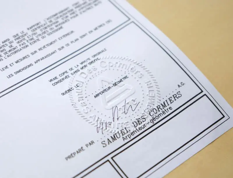
Samuel Des Cormiers, Land Surveyor
Improving our service is just the beginning. Judging by the very positive feedback from our clients, Samuel’s addition to the team is perfectly aligned with their needs and priorities. Obtaining a survey approval can take a long time when dealing with an outside company; with Can-Explore, it’s included in a turnkey package!

Conclusion
At Can-Explore, our ability to listen carefully is what sets us apart. Our clients expressed a need for surveying services, so we listened. After all, they deserve to know that we value their business. That’s how we view our industry, balancing technical expertise with the human factor.
Why not see for yourself? Contact us and let us know about your project. We look forward to working with you!