

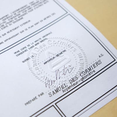
Legal Surveying (land surveyor services)
Legal surveying includes all services necessary to determine the boundaries and measurements of private or public property. This information is required for the sale, purchase, and financing of real estate or for new developments.
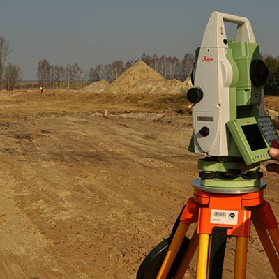
Construction Surveying
Can-Explore offers its clientele technological and personalized construction surveying services.
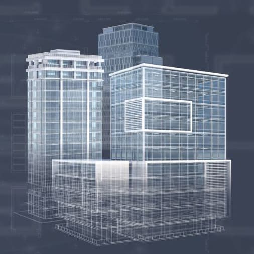
BIM
As a whole, building information modelling (BIM) process makes it possible to create and document building and infrastructure projects. With BIM, our team integrates and compiles information according to a specific theme.

Volume Measurement (Conventional and with a Drone)
Can-Explore uses various volume measurement methods to accurately evaluate stockpile volumes, such as those of sand, crushed rock, backfill material, etc.
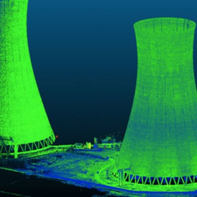
3D Scanning
3D scanning (terrestrial LiDAR) makes possible to get geometric details of various elements that can serve various purposes, for instance inspecting or taking precise measurements, such as an area, a volume or vector length between two points.
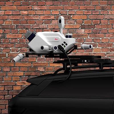
Mobile Mapping
Mobile mapping is a method of acquiring geospatial data from a moving vehicle on road, rail, or even maritime routes. It represents an advancement in the field, offering unprecedented surveying accuracy thanks to the use of LiDAR technology fixed to a vehicle.
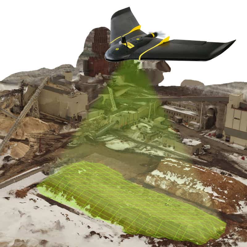
Photogrammetry
Photogrammetry is a 3D scanning technology done using a drone. It is used to model and get the geometry of a structure. The 3D model resulting from the photos taken by the drone can be used for a wide range of purposes.

Structural Movement Monitoring
Monitoring structural movement involves tracking a structure over time and ensuring its safety and integrity by detecting deficiencies. Can-Explore’s team has the expertise to use this highly effective investigation method.

Worksite Monitoring
Can-Explore is able to monitor worksites using powerful drones and its web application. All images taken by our drones are integrated into the application.
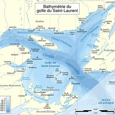
Bathymetry
Bathymetry is the study of underwater depth and a sonar is used to produce a 3D map of a submerged element.
Any questions? A specific project in mind?
Don’t hesitate to contact us. Our solutions are tailored to your needs.