Photogrammetry is a 3D scanning technology done using a drone. It is used to model and get the geometry of a structure. The 3D model resulting from the photos taken by the drone can be used for a wide range of purposes.
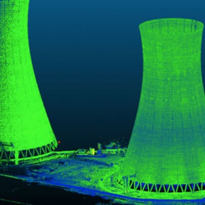
Creation of clearer point clouds
Geometric data of a structure
Affordable and effective technology
Complementary Technology
Photogrammetry is often compared with terrestrial lidar. Each of these two technologies has strengths and weaknesses, which gives them the advantage of being complementary. Photogrammetry is very useful in areas that are hard to access. We use it, for example, for:
- The general location of elements;
- Volume evaluation;
- The creation of as-built plans.
Shoreline Surveys
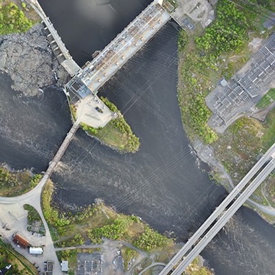
To survey a shoreline, Can-Explore’s team uses drone technology to accurately collect the necessary data for mapping a watercourse shoreline
Surveying the shoreline of a watercourse helps, among other things, to:
- Monitor shoreline erosion;
- Identify water levels during flood periods;
- Update interactive maps;
- Ensuring the environmental management of the watercourse.
Any questions? A specific project in mind?
Don’t hesitate to contact us. Our solutions are tailored to your needs.


